The overarching goal of my research is to advance sustainable development at the intersection of hydrology, climate science, and agricultural systems. Changing climate and rapid population growth have intensified demands on food and water resources. My work addresses these challenges by developing models, data-driven tools, and management strategies that improve how we understand, predict, and respond to hydroclimatic extremes and agricultural water use.
Projecting future rainfall intensity-duration-frequency (IDF) curves under climate change using artificial neural networks and Bayesian uncertainty quantification, with direct applications to engineering design, stormwater infrastructure, and flood risk management across the Southeast United States.
Quantifying mid-century rainfall erosivity under climate change and developing Best Management Practices (BMPs) for hilly watersheds using the process-based WEPP soil erosion model across diverse farming systems.
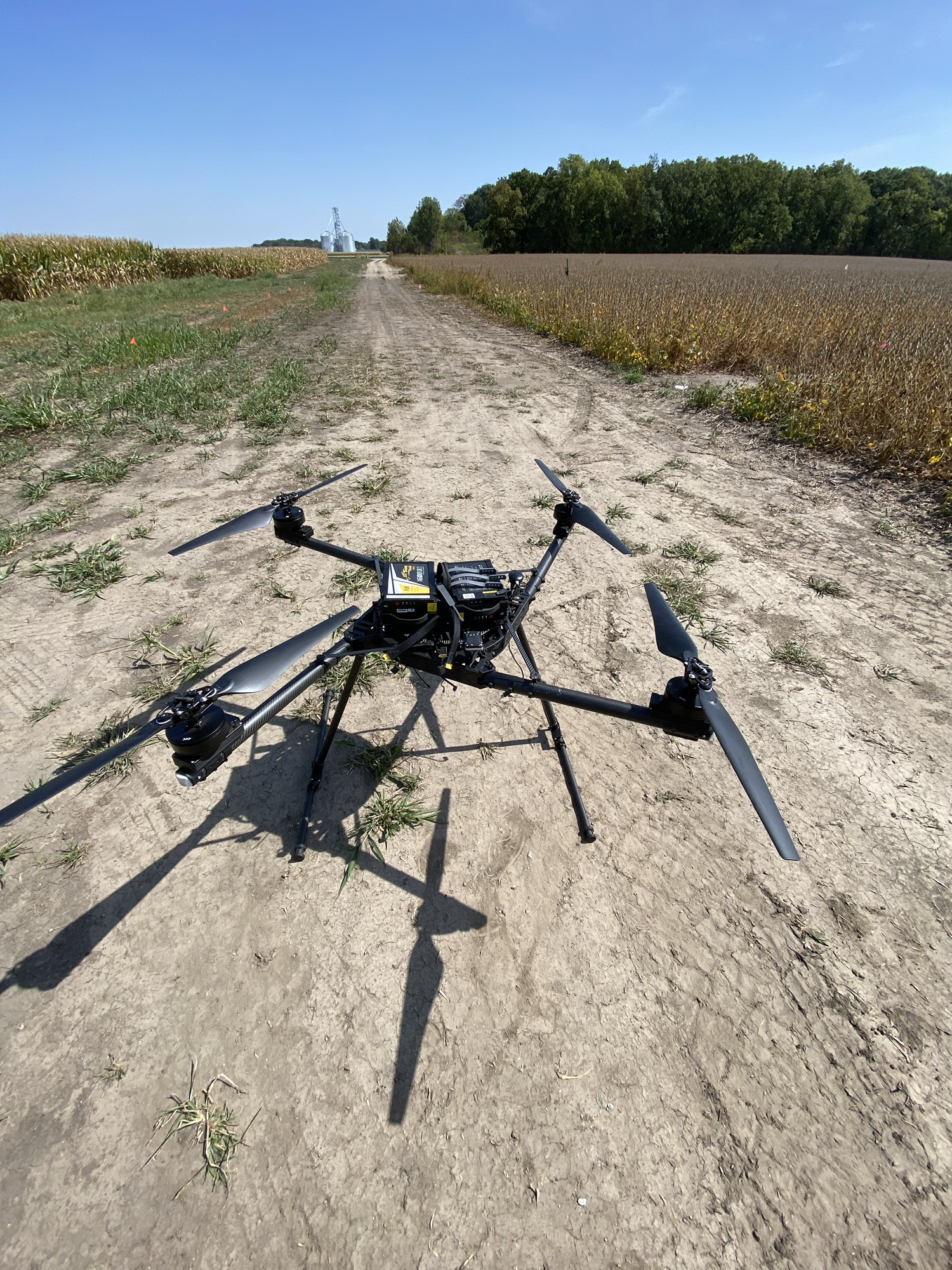
UAS-based crop water stress assessment and sensor-driven irrigation management for corn and soybean systems, enabling site-specific decision-making under variable field conditions and changing climate.
UAS-Based Approaches for Estimating Crop Water Requirements
According to the 2012 Census of Agriculture, irrigated agriculture in the United States accounts for just 14% of the total cultivated area but contributes 39% of the country's total farm sales. While the yield benefits are not as large, farmers in the Eastern Corn Belt have increasingly used irrigation as a risk-reduction strategy, with irrigated acres in Indiana and Illinois increasing by 22% after the 2012 drought. According to the Fifth National Climate Assessment, summers in the Midwest are expected to become hotter, increasing both heat stress and drought stress in crops. Winter and spring conditions will become increasingly wet, resulting in a need to retain water from the wet spring for use when the crops are heat and drought-stressed. Supplemental irrigation to replace evaporative losses during times of stress can support yield potential. Effective irrigation management requires accurate estimation of crop evapotranspiration, a critical parameter for managing the water balance. Our study utilizes thermal and RGB imagery from Unmanned Aircraft Systems (UAS) of irrigated and non-irrigated corn and soybean plots to estimate crop water stress and evapotranspiration rates.
-
Takhellambam, B. S., Srivastava, P., Lamba, J., Zhao, W., Kumar, H., Tian, D., & Molinari, R. (2024). Artificial neural network-empowered projected future rainfall intensity-duration-frequency curves under changing climate. Atmospheric Research, 297, 107122. DOI
-
Kumar, H., Srivastava, P., Lamba, J., Lena, B., Diamantopoulos, E., Ortiz, B., Takhellambam, B.S., Morata, G., Bondesan, L., 2023. A methodology to optimize site-specific field capacity and irrigation thresholds. Agricultural Water Management 286, 108385. DOI
-
Zhao, W., Abhishek, A., Takhellambam, B.S., Zhang, J., Zhao, Y., Kinouchi, T., 2023. Spatiotemporal variability of current and future sub-daily rainfall in Japan using state-of-the-art high-quality datasets. Water Resource Research 59, e2022WR03430. DOI
-
Takhellambam, B.S., Srivastava, P., Lamba, J., McGehee, R.P., Kumar, H., Tian, D., 2022. Projected mid-century rainfall erosivity under climate change over the southeastern United States. Science of The Total Environment. 161119. DOI
-
Takhellambam, B.S., Srivastava, P., Lamba, J., McGehee, R.P., Kumar, H., Tian, D., 2022. Temporal disaggregation of hourly precipitation under changing climate over the Southeast United States. Scientific Data 9, 11. DOI
-
Kumar, H., Srivastava, P., Lamba, J., Diamantopoulos, E., Ortiz, B., Morata, G., Takhellambam, B.S., Bondesan, L., 2022. Site-specific irrigation scheduling using one-layer soil hydraulic properties and inverse modeling. Agricultural Water Management 273, 107877.DOI
-
Kumar, H., Srivastava, P., Lamba, J., Ortiz, B.V., Way, T.R., Sangha, L., Takhellambam, B.S., Morata, G., Molinari, R., 2022. Within-field variability in nutrients for site-specific agricultural management in irrigated cornfield. Journal of ASABE,65, 865–880. DOI
-
Kumar, H., Srivastava, P., Ortiz, B.V., Morata, G., Takhellambam, B.S., Lamba, J., Bondesan, L., 2021. Field-scale spatial and temporal soil water variability in irrigated croplands. Transactions of the ASABE,1277–1294. DOI
-
Kumar, H., Srivastava, P., Lamba, J., Ortiz, B.V., Lyon, S.W., Takhellambam, B.S., Morata, G., Bondesan, L., 2023. Integral Approach of Unsupervised Learning and Temporal Stability in Irrigation Management, in: ASABE Paper No. 2200176. Presented at the Annual International Meeting, ASABE, St. Joseph, MI, p. 1. DOI
-
Takhellambam, B.S., Srivastava, P., Lamba, J., McGehee, R.P., Kumar, H., Tian, D., 2022. Projected rainfall erosivity under climate change in the southeastern United States, in: ASABE Paper No. 2200176. Presented at the Annual International Meeting, ASABE, St. Joseph, MI, p. 1.DOI
-
Takhellambam, B.S., Srivastava, P., Lamba, J., Zhao, W., Kumar, H., Tian, D., 2022. Assessment of projected change in Intensity-duration-frequency (IDF) curves for Southeastern, United States using Artificial Neural Networks., in: ASABE Paper No. 2200175. Presented at the Annual International Meeting, ASABE, St. Joseph, MI, p. 1. DOI